Disused farm buildings at the corner of Scriven Road and Greengate Lane
Introduction
The photograph on this page of Disused farm buildings at the corner of Scriven Road and Greengate Lane by habiloid as part of the Geograph project.
The Geograph project started in 2005 with the aim of publishing, organising and preserving representative images for every square kilometre of Great Britain, Ireland and the Isle of Man.

There are currently over 7.5m images from over 14,400 individuals and you can help contribute to the project by visiting https://www.geograph.org.uk
Disused farm buildings at the corner of Scriven Road and Greengate Lane
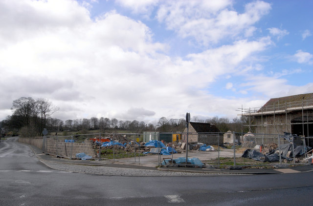
Image: © habiloid Taken: 5 Apr 2008
The wall running down Scriven Road once formed the boundary of the Slingsby family's parkland.
Images are licensed for reuse under creativecommons.org/licenses/by-sa/2.0
Image Location
Latitude
54.020158
Longitude
-1.468367