Enclosed Path from Shardeloes towards Old Amersham
Introduction
The photograph on this page of Enclosed Path from Shardeloes towards Old Amersham by Sean Davis as part of the Geograph project.
The Geograph project started in 2005 with the aim of publishing, organising and preserving representative images for every square kilometre of Great Britain, Ireland and the Isle of Man.

There are currently over 7.5m images from over 14,400 individuals and you can help contribute to the project by visiting https://www.geograph.org.uk
Enclosed Path from Shardeloes towards Old Amersham
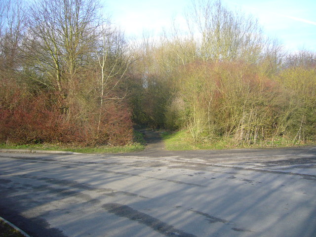
Image: © Sean Davis Taken: 13 Mar 2011
This enclosed footpath, from the entrance to Shardeloes, goes through a tunnel under the A413, next to the River Misbourne (see https://www.geograph.org.uk/photo/6426063 ) and on towards Old Amersham. It is on the South Bucks Way and the London Green Belt Way.
Images are licensed for reuse under creativecommons.org/licenses/by-sa/2.0
Image Location
Latitude
51.671505
Longitude
-0.631164