Houses at junction of London Road and Evington Footway
Introduction
The photograph on this page of Houses at junction of London Road and Evington Footway by phil Richards as part of the Geograph project.
The Geograph project started in 2005 with the aim of publishing, organising and preserving representative images for every square kilometre of Great Britain, Ireland and the Isle of Man.

There are currently over 7.5m images from over 14,400 individuals and you can help contribute to the project by visiting https://www.geograph.org.uk
Houses at junction of London Road and Evington Footway
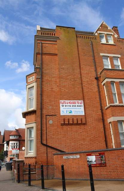
Image: © phil Richards Taken: 9 Sep 2017
There is an Ordnance Survey benchmark Image on the nearest house wall between the 2nd and 3rd black posts from the left hand end of the row
Images are licensed for reuse under creativecommons.org/licenses/by-sa/2.0
Image Location
Latitude
52.626517
Longitude
-1.118282