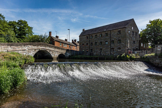
Podmore's flour Mill & weir, Rocester
Introduction
The photograph on this page of Podmore's flour Mill & weir, Rocester by Brian Deegan as part of the Geograph project.
The Geograph project started in 2005 with the aim of publishing, organising and preserving representative images for every square kilometre of Great Britain, Ireland and the Isle of Man.
There are currently over 7.5m images from over 14,400 individuals and you can help contribute to the project by visiting https://www.geograph.org.uk

Image: © Brian Deegan Taken: 26 May 2020
SK 1039-1139 10/165 ROCESTER C.P. HIGH STREET (South side) Podmore's Mill GV II Cotton mill. Late C19. Rock faced ashlar; clay tile roof; rock faced integral end stack. Three storeys; eight windows to first floor; four to second floor, six to ground floor, those to first and second floors are evenly spaced, ground floor windows match positions of first floor windows except fourth and sixth positions from left which are blank, segmental headed casements. Considerable group and landscape. https://britishlistedbuildings.co.uk/101231923

