Church Farm at Hughenden
Introduction
The photograph on this page of Church Farm at Hughenden by Sean Davis as part of the Geograph project.
The Geograph project started in 2005 with the aim of publishing, organising and preserving representative images for every square kilometre of Great Britain, Ireland and the Isle of Man.

There are currently over 7.5m images from over 14,400 individuals and you can help contribute to the project by visiting https://www.geograph.org.uk
Church Farm at Hughenden
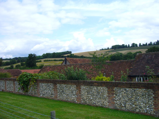
Image: © Sean Davis Taken: 28 Jul 2007
Church Farm at Hughenden Valley from footpath through Hughenden Park on the route of the London Green Belt Way.
Images are licensed for reuse under creativecommons.org/licenses/by-sa/2.0
Image Location
Latitude
51.655275
Longitude
-0.75057