Rapefield and footpath near Badger in Shropshire
Introduction
The photograph on this page of Rapefield and footpath near Badger in Shropshire by Roger Kidd as part of the Geograph project.
The Geograph project started in 2005 with the aim of publishing, organising and preserving representative images for every square kilometre of Great Britain, Ireland and the Isle of Man.

There are currently over 7.5m images from over 14,400 individuals and you can help contribute to the project by visiting https://www.geograph.org.uk
Rapefield and footpath near Badger in Shropshire
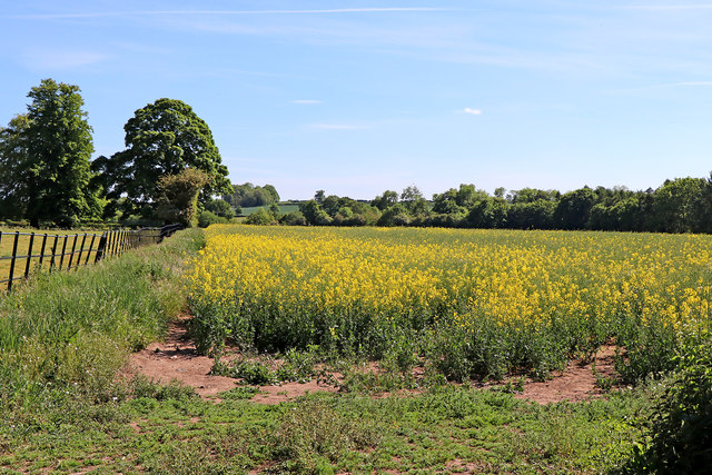
Image: © Roger Kidd Taken: 19 May 2020
Looking south, the public footpath follows the edge of the field for two hundred metres, then continues across the field, through the crop to Badger Dingle, then on to the road by Tyte Farm. The yellow flowering of the rape seed plants has almost finished and the crop is up to 1·5 metres high, but the route is just about discernible, thanks to the few walkers who have used it previously.
Images are licensed for reuse under creativecommons.org/licenses/by-sa/2.0
Image Location
Latitude
52.593916
Longitude
-2.330041