Old Boundary Marker
Introduction
The photograph on this page of Old Boundary Marker by D Garside as part of the Geograph project.
The Geograph project started in 2005 with the aim of publishing, organising and preserving representative images for every square kilometre of Great Britain, Ireland and the Isle of Man.

There are currently over 7.5m images from over 14,400 individuals and you can help contribute to the project by visiting https://www.geograph.org.uk
Old Boundary Marker
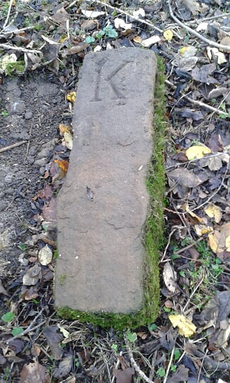
Image: © D Garside Taken: 12 Dec 2018
Fallen Parish Boundary Marker inside the northern boundary of Park Wood, Kirkby Malzeard. On the boundary of Kirkby Malzeard and Grewelthorpe parishes. Inscribed G and K on opposite faces. Milestone Society National ID: YW_KMAGRE03pb
Images are licensed for reuse under creativecommons.org/licenses/by-sa/2.0
Image Location
Latitude
54.167436
Longitude
-1.637173