Public Bridleway
Introduction
The photograph on this page of Public Bridleway by Mike Lyne as part of the Geograph project.
The Geograph project started in 2005 with the aim of publishing, organising and preserving representative images for every square kilometre of Great Britain, Ireland and the Isle of Man.

There are currently over 7.5m images from over 14,400 individuals and you can help contribute to the project by visiting https://www.geograph.org.uk
Public Bridleway
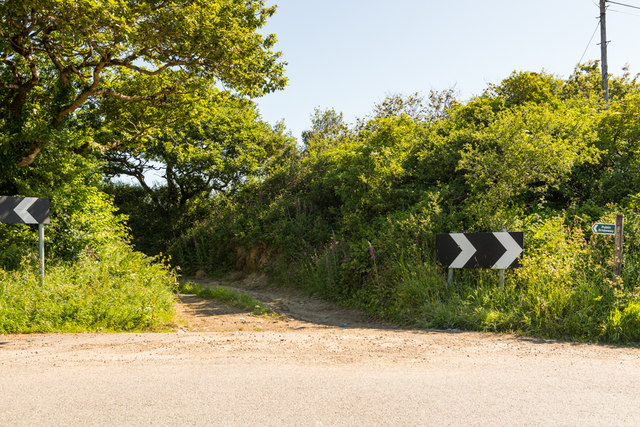
Image: © Mike Lyne Taken: 25 May 2020
Start of a bridleway towards Penans Farm and the A390 between Hewas Water and Grampound.
Images are licensed for reuse under creativecommons.org/licenses/by-sa/2.0
Image Location
Latitude
50.299683
Longitude
-4.875375