Brighton Road, Shoreham By Sea
Introduction
The photograph on this page of Brighton Road, Shoreham By Sea by Simon Carey as part of the Geograph project.
The Geograph project started in 2005 with the aim of publishing, organising and preserving representative images for every square kilometre of Great Britain, Ireland and the Isle of Man.

There are currently over 7.5m images from over 14,400 individuals and you can help contribute to the project by visiting https://www.geograph.org.uk
Brighton Road, Shoreham By Sea
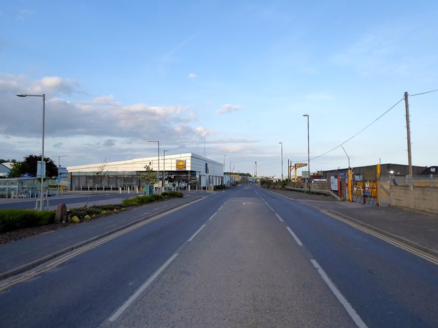
Image: © Simon Carey Taken: 24 May 2020
Prior to 1971 the road rose to bridge the sidings that served Kingston Railway Wharf to the right. Much has now changed with a newish Aldi supermarket on the right and the former wharves on the left about to be redeveloped. The road is the A259.
Images are licensed for reuse under creativecommons.org/licenses/by-sa/2.0
Image Location
Latitude
50.832026
Longitude
-0.255478