Lambley Lane closed for 12 months
Introduction
The photograph on this page of Lambley Lane closed for 12 months by Alan Murray-Rust as part of the Geograph project.
The Geograph project started in 2005 with the aim of publishing, organising and preserving representative images for every square kilometre of Great Britain, Ireland and the Isle of Man.

There are currently over 7.5m images from over 14,400 individuals and you can help contribute to the project by visiting https://www.geograph.org.uk
Lambley Lane closed for 12 months
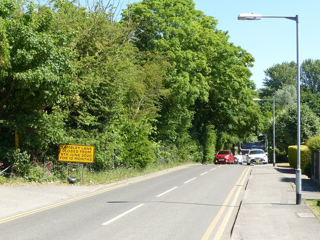
Image: © Alan Murray-Rust Taken: 25 May 2020
As a result of the construction of the new Gedling Access Road. The diversionary routes are very significantly longer.
Images are licensed for reuse under creativecommons.org/licenses/by-sa/2.0
Image Location


Leaflet Map data © OpenStreetMap
Latitude
52.980916
Longitude
-1.085617