The Green Chain Walk entering Bostall Woods
Introduction
The photograph on this page of The Green Chain Walk entering Bostall Woods by Marathon as part of the Geograph project.
The Geograph project started in 2005 with the aim of publishing, organising and preserving representative images for every square kilometre of Great Britain, Ireland and the Isle of Man.

There are currently over 7.5m images from over 14,400 individuals and you can help contribute to the project by visiting https://www.geograph.org.uk
The Green Chain Walk entering Bostall Woods
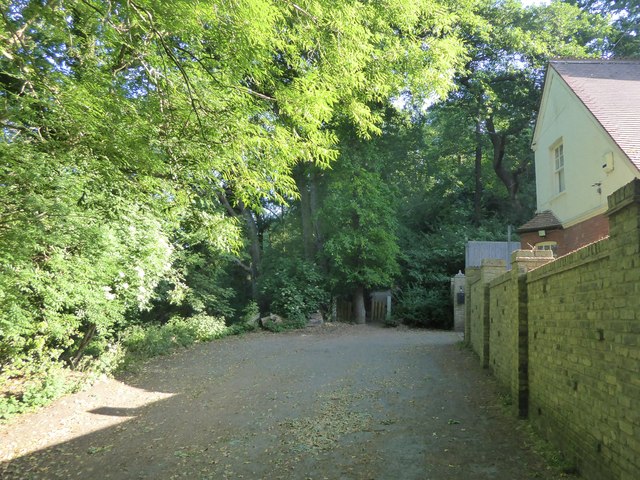
Image: © Marathon Taken: 25 May 2020
Cemetery Road turns sharp left just past the entrance to Plumstead Cemetery and becomes more of a rough track here on the way to Bostall Woods, the entrance of which is just ahead. The house on the right belongs to Plumstead Cemetery.
Images are licensed for reuse under creativecommons.org/licenses/by-sa/2.0
Image Location
Latitude
51.477644
Longitude
0.109913