South Cave: Stonepit Road
Introduction
The photograph on this page of South Cave: Stonepit Road by Paul Harrop as part of the Geograph project.
The Geograph project started in 2005 with the aim of publishing, organising and preserving representative images for every square kilometre of Great Britain, Ireland and the Isle of Man.

There are currently over 7.5m images from over 14,400 individuals and you can help contribute to the project by visiting https://www.geograph.org.uk
South Cave: Stonepit Road
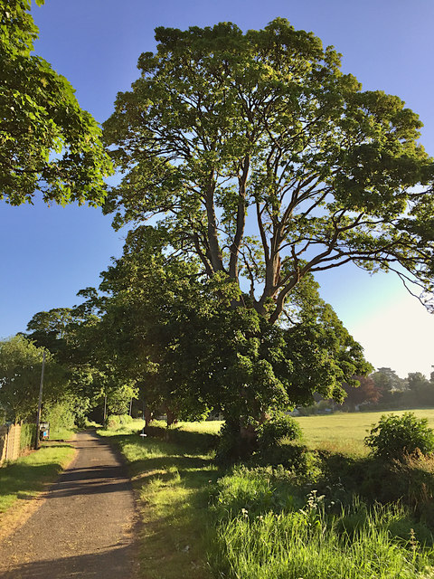
Image: © Paul Harrop Taken: 25 May 2020
...or Stonepit Lane, depending on whether you believe local road signs or OS maps. Either way, it is a cul-de-sac running from Brough Road, now ended by the A63 but presumably once running further south. There is pedestrian access from its end to the footpath along the A63.
Images are licensed for reuse under creativecommons.org/licenses/by-sa/2.0
Image Location
Latitude
53.762605
Longitude
-0.602097