Cycle and foot route along Blackhorse Lane
Introduction
The photograph on this page of Cycle and foot route along Blackhorse Lane by David Smith as part of the Geograph project.
The Geograph project started in 2005 with the aim of publishing, organising and preserving representative images for every square kilometre of Great Britain, Ireland and the Isle of Man.

There are currently over 7.5m images from over 14,400 individuals and you can help contribute to the project by visiting https://www.geograph.org.uk
Cycle and foot route along Blackhorse Lane
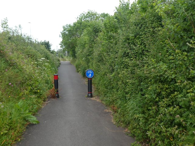
Image: © David Smith Taken: 22 May 2020
Blackhorse Lane is closed to traffic, having been severed by the M5
Images are licensed for reuse under creativecommons.org/licenses/by-sa/2.0
Image Location
Latitude
50.732785
Longitude
-3.451931