Blake's Lock, Reading
Introduction
The photograph on this page of Blake's Lock, Reading by Robin Webster as part of the Geograph project.
The Geograph project started in 2005 with the aim of publishing, organising and preserving representative images for every square kilometre of Great Britain, Ireland and the Isle of Man.

There are currently over 7.5m images from over 14,400 individuals and you can help contribute to the project by visiting https://www.geograph.org.uk
Blake's Lock, Reading
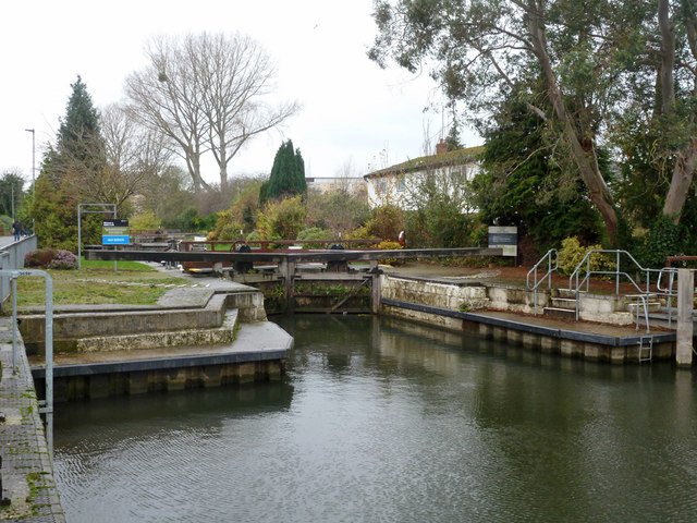
Image: © Robin Webster Taken: 29 Nov 2015
The bottom lock of the River Kennet. The lock is under the control of the Thames navigation authority, now the Environment Agency. It has Thames type features such as wheel paddle gear.
Images are licensed for reuse under creativecommons.org/licenses/by-sa/2.0
Image Location
Latitude
51.456086
Longitude
-0.95448