Shepherds Cottage
Introduction
The photograph on this page of Shepherds Cottage by Roger Templeman as part of the Geograph project.
The Geograph project started in 2005 with the aim of publishing, organising and preserving representative images for every square kilometre of Great Britain, Ireland and the Isle of Man.

There are currently over 7.5m images from over 14,400 individuals and you can help contribute to the project by visiting https://www.geograph.org.uk
Shepherds Cottage
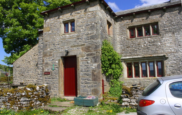
Image: © Roger Templeman Taken: 16 May 2019
There is an Ordnance Survey benchmark Image above the flower box right of the cottage door
Images are licensed for reuse under creativecommons.org/licenses/by-sa/2.0
Image Location


Leaflet Map data © OpenStreetMap
Latitude
54.102094
Longitude
-2.173689