Carterknowle Park
Introduction
The photograph on this page of Carterknowle Park by Graham Hogg as part of the Geograph project.
The Geograph project started in 2005 with the aim of publishing, organising and preserving representative images for every square kilometre of Great Britain, Ireland and the Isle of Man.

There are currently over 7.5m images from over 14,400 individuals and you can help contribute to the project by visiting https://www.geograph.org.uk
Carterknowle Park
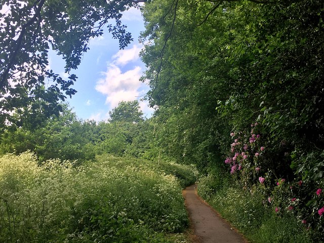
Image: © Graham Hogg Taken: 22 May 2020
This pocket park is really little more than a footpath linking Carterknowle Road and Abbeydale Road
Images are licensed for reuse under creativecommons.org/licenses/by-sa/2.0
Image Location
Latitude
53.351632
Longitude
-1.493393