St Richards Road, Fishersgate
Introduction
The photograph on this page of St Richards Road, Fishersgate by Simon Carey as part of the Geograph project.
The Geograph project started in 2005 with the aim of publishing, organising and preserving representative images for every square kilometre of Great Britain, Ireland and the Isle of Man.

There are currently over 7.5m images from over 14,400 individuals and you can help contribute to the project by visiting https://www.geograph.org.uk
St Richards Road, Fishersgate
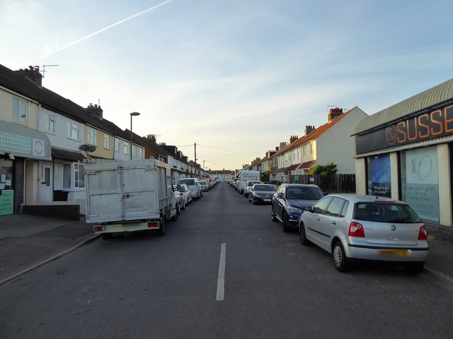
Image: © Simon Carey Taken: 17 May 2020
Completed just before the First World War and linking Fishersgate Terrace, the A259, to Eastbrook Road.
Images are licensed for reuse under creativecommons.org/licenses/by-sa/2.0
Image Location
Latitude
50.832435
Longitude
-0.21712