Mill Road, Fishersgate
Introduction
The photograph on this page of Mill Road, Fishersgate by Simon Carey as part of the Geograph project.
The Geograph project started in 2005 with the aim of publishing, organising and preserving representative images for every square kilometre of Great Britain, Ireland and the Isle of Man.

There are currently over 7.5m images from over 14,400 individuals and you can help contribute to the project by visiting https://www.geograph.org.uk
Mill Road, Fishersgate
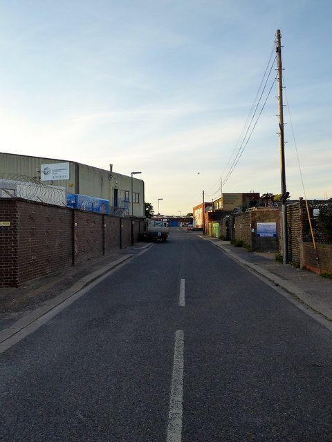
Image: © Simon Carey Taken: 17 May 2020
The road dates from the 1850s and heads north before meeting a dead end. At the far end was a windmill which was used to manufacture cement and is marked as such on the early 1870s OS map. However, it was demolished in 1873. Much of the road is now an industrial estate.
Images are licensed for reuse under creativecommons.org/licenses/by-sa/2.0
Image Location
Latitude
50.83227
Longitude
-0.21812