Farmland with stables near Stableford in Shropshire
Introduction
The photograph on this page of Farmland with stables near Stableford in Shropshire by Roger Kidd as part of the Geograph project.
The Geograph project started in 2005 with the aim of publishing, organising and preserving representative images for every square kilometre of Great Britain, Ireland and the Isle of Man.

There are currently over 7.5m images from over 14,400 individuals and you can help contribute to the project by visiting https://www.geograph.org.uk
Farmland with stables near Stableford in Shropshire
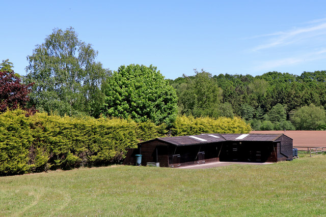
Image: © Roger Kidd Taken: 19 May 2020
Looking east-north-east from the lane. The property known as 'The Walled Garden' is behind the high hedge on the left. The distant woodland is beyond a meandering River Worfe, on land known as Dalepiece Rough.
Images are licensed for reuse under creativecommons.org/licenses/by-sa/2.0
Image Location
Latitude
52.584583
Longitude
-2.355505