Foxton High Street: approaching The Green
Introduction
The photograph on this page of Foxton High Street: approaching The Green by John Sutton as part of the Geograph project.
The Geograph project started in 2005 with the aim of publishing, organising and preserving representative images for every square kilometre of Great Britain, Ireland and the Isle of Man.

There are currently over 7.5m images from over 14,400 individuals and you can help contribute to the project by visiting https://www.geograph.org.uk
Foxton High Street: approaching The Green
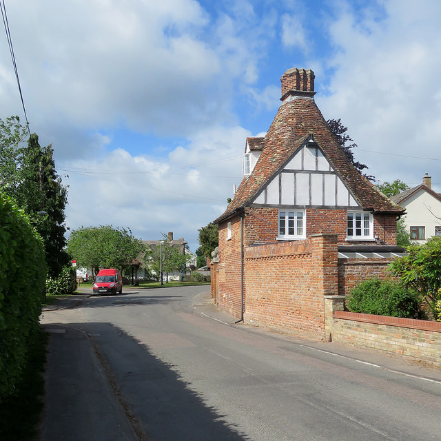
Image: © John Sutton Taken: 23 May 2020
The idiosyncratic Grade II listed former malthouse on the right was built in 1705 and converted to a cottage about 1860. For another view of it see Image
Images are licensed for reuse under creativecommons.org/licenses/by-sa/2.0
Image Location
Latitude
52.113201
Longitude
0.05552