Inverkip and the Firth of Clyde
Introduction
The photograph on this page of Inverkip and the Firth of Clyde by Thomas Nugent as part of the Geograph project.
The Geograph project started in 2005 with the aim of publishing, organising and preserving representative images for every square kilometre of Great Britain, Ireland and the Isle of Man.

There are currently over 7.5m images from over 14,400 individuals and you can help contribute to the project by visiting https://www.geograph.org.uk
Inverkip and the Firth of Clyde
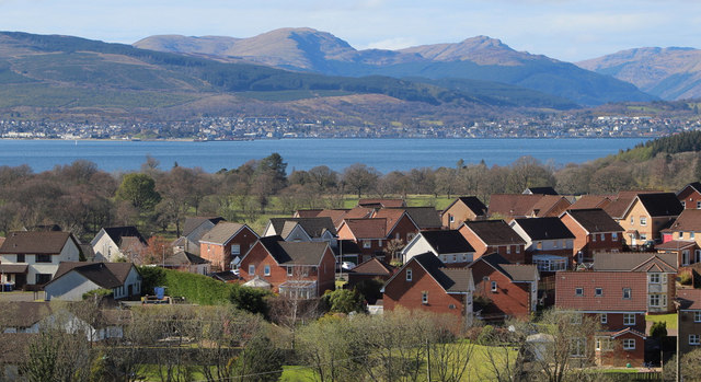
Image: © Thomas Nugent Taken: 11 Apr 2020
The Swallow Brae housing estate viewed from Langhill. Ardgowan Policies, Dunoon and the south Highlands are in the distance.
Images are licensed for reuse under creativecommons.org/licenses/by-sa/2.0
Image Location
Latitude
55.912008
Longitude
-4.854458