Afon Brennig, Tregaron
Introduction
The photograph on this page of Afon Brennig, Tregaron by Stephen McKay as part of the Geograph project.
The Geograph project started in 2005 with the aim of publishing, organising and preserving representative images for every square kilometre of Great Britain, Ireland and the Isle of Man.

There are currently over 7.5m images from over 14,400 individuals and you can help contribute to the project by visiting https://www.geograph.org.uk
Afon Brennig, Tregaron
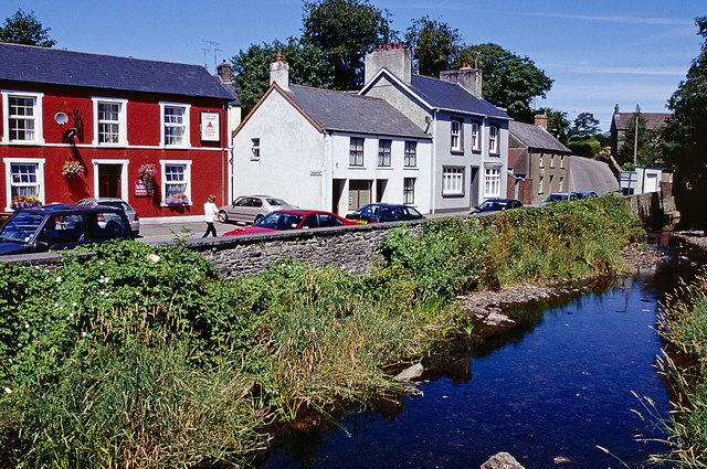
Image: © Stephen McKay Taken: 24 Jul 2006
Looking down from the bridge over Afon Brennig with the B4343, Pontryhydfendigaid Road, running along the left hand side (or right bank in the direction of flow of the river - which is a tributary of the Teifi.) The pub is Y Llew Coch/The Red Lion.
Images are licensed for reuse under creativecommons.org/licenses/by-sa/2.0
Image Location
Latitude
52.220184
Longitude
-3.933876