Foxton: a former malthouse
Introduction
The photograph on this page of Foxton: a former malthouse by John Sutton as part of the Geograph project.
The Geograph project started in 2005 with the aim of publishing, organising and preserving representative images for every square kilometre of Great Britain, Ireland and the Isle of Man.

There are currently over 7.5m images from over 14,400 individuals and you can help contribute to the project by visiting https://www.geograph.org.uk
Foxton: a former malthouse
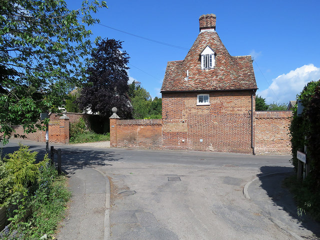
Image: © John Sutton Taken: 23 May 2020
This Grade II listed house was built in 1705 as a malthouse and became a house in 1860. The gate piers are at the end of the drive to Foxton House.
Images are licensed for reuse under creativecommons.org/licenses/by-sa/2.0
Image Location
Latitude
52.113201
Longitude
0.05552