West Road, Fishersgate
Introduction
The photograph on this page of West Road, Fishersgate by Simon Carey as part of the Geograph project.
The Geograph project started in 2005 with the aim of publishing, organising and preserving representative images for every square kilometre of Great Britain, Ireland and the Isle of Man.

There are currently over 7.5m images from over 14,400 individuals and you can help contribute to the project by visiting https://www.geograph.org.uk
West Road, Fishersgate
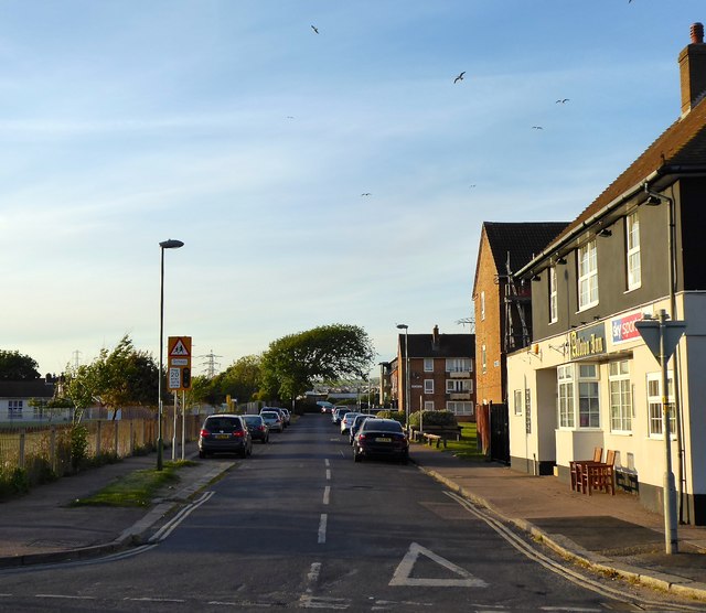
Image: © Simon Carey Taken: 17 May 2020
Linking Fishersgate Terrace, the A259, to Gardner Road and originally built in the 1860s. The original terraced housing on the eastern site has long been removed with just the Albion Inn surviving.
Images are licensed for reuse under creativecommons.org/licenses/by-sa/2.0
Image Location
Latitude
50.832511
Longitude
-0.222088