Shoreham Oil Terminal
Introduction
The photograph on this page of Shoreham Oil Terminal by Simon Carey as part of the Geograph project.
The Geograph project started in 2005 with the aim of publishing, organising and preserving representative images for every square kilometre of Great Britain, Ireland and the Isle of Man.

There are currently over 7.5m images from over 14,400 individuals and you can help contribute to the project by visiting https://www.geograph.org.uk
Shoreham Oil Terminal
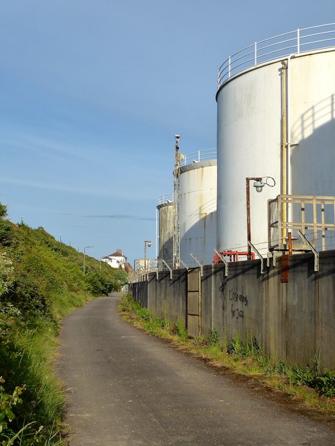
Image: © Simon Carey Taken: 17 May 2020
Viewed from the track which is a continuation of Waterside Road and allows access to North Canal Bank.
Images are licensed for reuse under creativecommons.org/licenses/by-sa/2.0
Image Location
Latitude
50.831428
Longitude
-0.221845