Meadow and trees, Dartington Lane
Introduction
The photograph on this page of Meadow and trees, Dartington Lane by Derek Harper as part of the Geograph project.
The Geograph project started in 2005 with the aim of publishing, organising and preserving representative images for every square kilometre of Great Britain, Ireland and the Isle of Man.

There are currently over 7.5m images from over 14,400 individuals and you can help contribute to the project by visiting https://www.geograph.org.uk
Meadow and trees, Dartington Lane
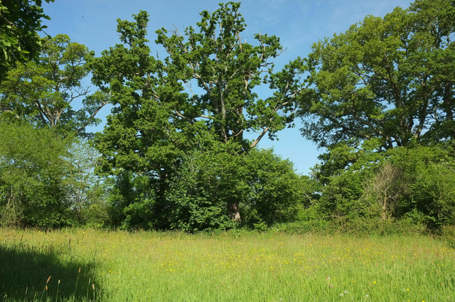
Image: © Derek Harper Taken: 20 May 2020
Dartington Lane runs along the other side of the trees across this meadow, seen from the riverside Totnes footpath 5. The trees form the parish boundary between Totnes (this side) and Dartington.
Images are licensed for reuse under creativecommons.org/licenses/by-sa/2.0
Image Location


Leaflet Map data © OpenStreetMap
Latitude
50.440297
Longitude
-3.693075