Footpath to Sedgebrook Road
Introduction
The photograph on this page of Footpath to Sedgebrook Road by Jonathan Thacker as part of the Geograph project.
The Geograph project started in 2005 with the aim of publishing, organising and preserving representative images for every square kilometre of Great Britain, Ireland and the Isle of Man.

There are currently over 7.5m images from over 14,400 individuals and you can help contribute to the project by visiting https://www.geograph.org.uk
Footpath to Sedgebrook Road
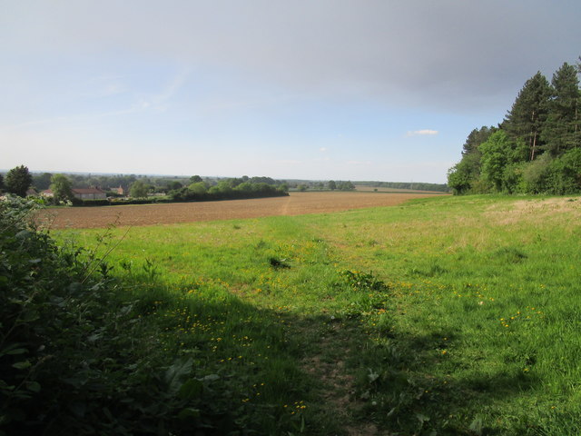
Image: © Jonathan Thacker Taken: 21 May 2020
The route can be clearly made out across the lower field. The darkened sky is the result of a major fire at Langar Industrial Estate https://www.bbc.co.uk/news/uk-england-nottinghamshire-52757709
Images are licensed for reuse under creativecommons.org/licenses/by-sa/2.0
Image Location
Latitude
52.899494
Longitude
-0.752238