Ensbury Park: George Close
Introduction
The photograph on this page of Ensbury Park: George Close by Chris Downer as part of the Geograph project.
The Geograph project started in 2005 with the aim of publishing, organising and preserving representative images for every square kilometre of Great Britain, Ireland and the Isle of Man.

There are currently over 7.5m images from over 14,400 individuals and you can help contribute to the project by visiting https://www.geograph.org.uk
Ensbury Park: George Close
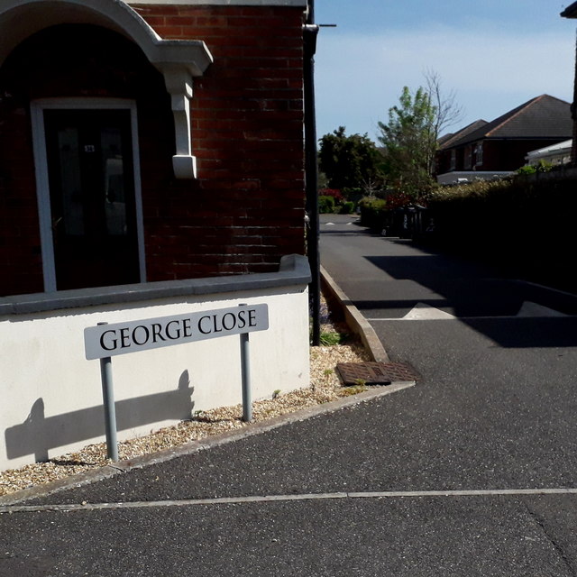
Image: © Chris Downer Taken: 19 Apr 2020
A very modern infill cul-de-sac off Beswick Avenue, George Close contains some university student accommodation. Many original houses in this neck of the woods have also become student houses; it is an ideal location a 15-minute or so walk to the main campus of Bournemouth University and the Arts University. The road sign is a nonstandard one which has, therefore, presumably been installed by the developers rather than the council. This is photo no.157 of a series of 453 in my coronavirus lockdown walking project: See https://www.geograph.org.uk/article/My-2020-Coronavirus-Lockdown-walking-project for the complete set of photos.
Images are licensed for reuse under creativecommons.org/licenses/by-sa/2.0
Image Location
Latitude
50.749779
Longitude
-1.888535