Agricultural ruins at Linicro
Introduction
The photograph on this page of Agricultural ruins at Linicro by John Allan as part of the Geograph project.
The Geograph project started in 2005 with the aim of publishing, organising and preserving representative images for every square kilometre of Great Britain, Ireland and the Isle of Man.

There are currently over 7.5m images from over 14,400 individuals and you can help contribute to the project by visiting https://www.geograph.org.uk
Agricultural ruins at Linicro
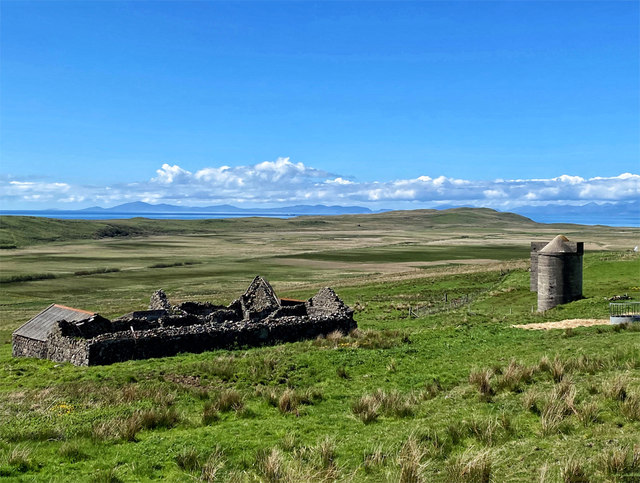
Image: © John Allan Taken: 22 May 2020
A roofless building and a disused silo. The flat ground beyond was once the bed of a loch, since drained to provide agricultural land. The area saw the largest production of grain and flax on Skye.
Images are licensed for reuse under creativecommons.org/licenses/by-sa/2.0
Image Location
Latitude
57.626419
Longitude
-6.378676