Old Boundary Marker
Introduction
The photograph on this page of Old Boundary Marker by R Heywood as part of the Geograph project.
The Geograph project started in 2005 with the aim of publishing, organising and preserving representative images for every square kilometre of Great Britain, Ireland and the Isle of Man.

There are currently over 7.5m images from over 14,400 individuals and you can help contribute to the project by visiting https://www.geograph.org.uk
Old Boundary Marker
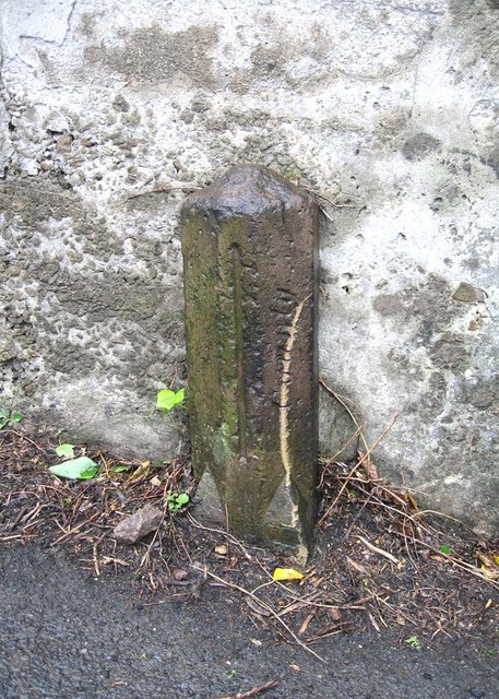
Image: © R Heywood Taken: 27 Aug 2019
County Bridge Marker on A6024 Woodhead Road, Holmbridge. Holme Valley parish. Inscribed County vertically. The stone marks the extent of roadway adjoining the bridge that the County was obliged to maintain. See also https://www.geograph.org.uk/photo/1112612 Milestone Society National ID: YW_HOLM02br
Images are licensed for reuse under creativecommons.org/licenses/by-sa/2.0
Image Location
Latitude
53.556609
Longitude
-1.819876