View to Kirkbride Farm
Introduction
The photograph on this page of View to Kirkbride Farm by Mary and Angus Hogg as part of the Geograph project.
The Geograph project started in 2005 with the aim of publishing, organising and preserving representative images for every square kilometre of Great Britain, Ireland and the Isle of Man.

There are currently over 7.5m images from over 14,400 individuals and you can help contribute to the project by visiting https://www.geograph.org.uk
View to Kirkbride Farm
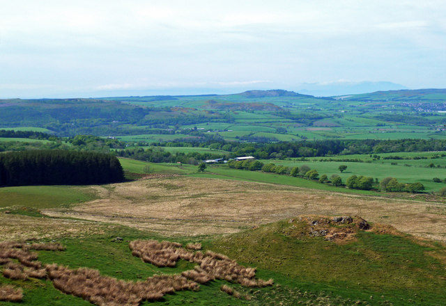
Image: © Mary and Angus Hogg Taken: 20 May 2020
Viewed from outside the square on the top of the Black Hill of Knockgdardner during a Coronavirus exercise outing. Mochrum Hill is visible in the distance with a hazy island of Arran in the background.
Images are licensed for reuse under creativecommons.org/licenses/by-sa/2.0
Image Location
Latitude
55.295841
Longitude
-4.603009