Bridle Road, Burton Joyce
Introduction
The photograph on this page of Bridle Road, Burton Joyce by Alan Murray-Rust as part of the Geograph project.
The Geograph project started in 2005 with the aim of publishing, organising and preserving representative images for every square kilometre of Great Britain, Ireland and the Isle of Man.

There are currently over 7.5m images from over 14,400 individuals and you can help contribute to the project by visiting https://www.geograph.org.uk
Bridle Road, Burton Joyce
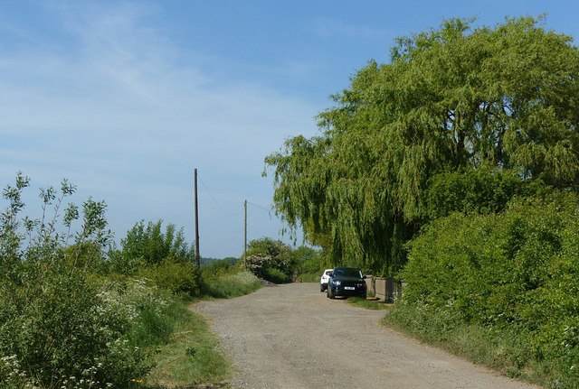
Image: © Alan Murray-Rust Taken: 20 May 2020
A long unmaintained road to the north of the village with a surprising number of private houses developed along it. It forms part of a traditional bridleway route along the ridge from Mapperley Plains to Bulcote.
Images are licensed for reuse under creativecommons.org/licenses/by-sa/2.0
Image Location
Latitude
52.995973
Longitude
-1.045517