Bonney Doles, meadow
Introduction
The photograph on this page of Bonney Doles, meadow by Alan Murray-Rust as part of the Geograph project.
The Geograph project started in 2005 with the aim of publishing, organising and preserving representative images for every square kilometre of Great Britain, Ireland and the Isle of Man.

There are currently over 7.5m images from over 14,400 individuals and you can help contribute to the project by visiting https://www.geograph.org.uk
Bonney Doles, meadow
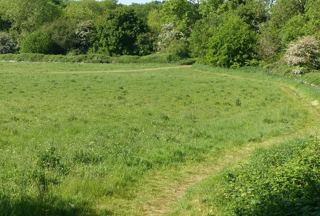
Image: © Alan Murray-Rust Taken: 20 May 2020
Part of a Woodland Trust project commenced in 1998. The open area is managed as traditional meadow land.
Images are licensed for reuse under creativecommons.org/licenses/by-sa/2.0
Image Location
Latitude
52.999911
Longitude
-1.077467