SSW along Graig Park Circle, Newport
Introduction
The photograph on this page of SSW along Graig Park Circle, Newport by Jaggery as part of the Geograph project.
The Geograph project started in 2005 with the aim of publishing, organising and preserving representative images for every square kilometre of Great Britain, Ireland and the Isle of Man.

There are currently over 7.5m images from over 14,400 individuals and you can help contribute to the project by visiting https://www.geograph.org.uk
SSW along Graig Park Circle, Newport
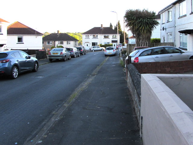
Image: © Jaggery Taken: 20 May 2020
You may well ask how a straight road can be part of a circle. Maps show that the course of Graig Park Circle most closely resembles a rectangle.
Images are licensed for reuse under creativecommons.org/licenses/by-sa/2.0
Image Location
Latitude
51.606848
Longitude
-3.007294