A circular walk from Bratton [68]
Introduction
The photograph on this page of A circular walk from Bratton [68] by Michael Dibb as part of the Geograph project.
The Geograph project started in 2005 with the aim of publishing, organising and preserving representative images for every square kilometre of Great Britain, Ireland and the Isle of Man.

There are currently over 7.5m images from over 14,400 individuals and you can help contribute to the project by visiting https://www.geograph.org.uk
A circular walk from Bratton [68]
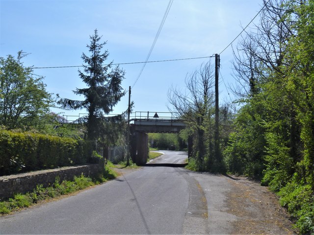
Image: © Michael Dibb Taken: 21 Apr 2020
Coach Road runs from Trowbridge Road, A350, to Bratton Road, B3098. Motor vehicles are prohibited from most of the route but the low bridge, seen here, under the Reading to Taunton railway means that tall vehicles (over 12ft 9inches) requiring access to the sports complex may use the section from Bitham Park. On OS maps the road is shown as 'other route with public access'. The walk leaves Bratton heading northwest then turns west, circling around the former cement factory to the Old Coach Road on the edge of Westbury. The return is past the Westbury White Horse viewing site on a bridleway and then a track, Lower Westbury Road. About 5¾ miles.
Images are licensed for reuse under creativecommons.org/licenses/by-sa/2.0
Image Location
Latitude
51.271157
Longitude
-2.176551