A circular walk from Bratton [64]
Introduction
The photograph on this page of A circular walk from Bratton [64] by Michael Dibb as part of the Geograph project.
The Geograph project started in 2005 with the aim of publishing, organising and preserving representative images for every square kilometre of Great Britain, Ireland and the Isle of Man.

There are currently over 7.5m images from over 14,400 individuals and you can help contribute to the project by visiting https://www.geograph.org.uk
A circular walk from Bratton [64]
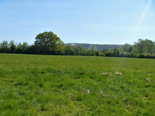
Image: © Michael Dibb Taken: 21 Apr 2020
A look across the field from the path gives a first view of the Westbury White Horse. The horse is believed to have been cut ino the hillside in 1778. The walk leaves Bratton heading northwest then turns west, circling around the former cement factory to the Old Coach Road on the edge of Westbury. The return is past the Westbury White Horse viewing site on a bridleway and then a track, Lower Westbury Road. About 5¾ miles.
Images are licensed for reuse under creativecommons.org/licenses/by-sa/2.0
Image Location


Leaflet Map data © OpenStreetMap
Latitude
51.271969
Longitude
-2.174691