Footpath to Southhouse Farm
Introduction
The photograph on this page of Footpath to Southhouse Farm by Glyn Baker as part of the Geograph project.
The Geograph project started in 2005 with the aim of publishing, organising and preserving representative images for every square kilometre of Great Britain, Ireland and the Isle of Man.

There are currently over 7.5m images from over 14,400 individuals and you can help contribute to the project by visiting https://www.geograph.org.uk
Footpath to Southhouse Farm
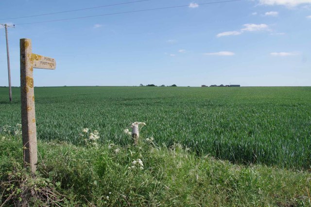
Image: © Glyn Baker Taken: 19 May 2020
I would not be surprised if it is years since this footpath has seen a foot! Even with covid-19 levels of traffic walking along the A120 would be no fun. This is Footpath 177_26 it is 1148m long
Images are licensed for reuse under creativecommons.org/licenses/by-sa/2.0
Image Location
Latitude
51.922293
Longitude
1.192758