Pastures above Shieldburn Hall (2)
Introduction
The photograph on this page of Pastures above Shieldburn Hall (2) by Mike Quinn as part of the Geograph project.
The Geograph project started in 2005 with the aim of publishing, organising and preserving representative images for every square kilometre of Great Britain, Ireland and the Isle of Man.

There are currently over 7.5m images from over 14,400 individuals and you can help contribute to the project by visiting https://www.geograph.org.uk
Pastures above Shieldburn Hall (2)
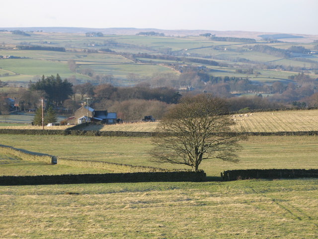
Image: © Mike Quinn Taken: 15 Dec 2007
Looking across the valley of the River East Allen towards Thornley Gate and, above the first horizon in the far distance, Whitfield Moor on the far side of the valley of the River West Allen.
Images are licensed for reuse under creativecommons.org/licenses/by-sa/2.0
Image Location


Leaflet Map data © OpenStreetMap
Latitude
54.89608
Longitude
-2.232289