Burlington Way
Introduction
The photograph on this page of Burlington Way by Malcolm Neal as part of the Geograph project.
The Geograph project started in 2005 with the aim of publishing, organising and preserving representative images for every square kilometre of Great Britain, Ireland and the Isle of Man.

There are currently over 7.5m images from over 14,400 individuals and you can help contribute to the project by visiting https://www.geograph.org.uk
Burlington Way
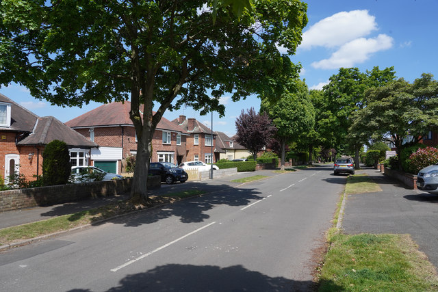
Image: © Malcolm Neal Taken: 21 May 2020
A very pleasant tree lined street in Mickleover connecting Station Road to Cavendish Way.
Images are licensed for reuse under creativecommons.org/licenses/by-sa/2.0
Image Location
Latitude
52.906863
Longitude
-1.540077