Fulbourn: down Mill Hill
Introduction
The photograph on this page of Fulbourn: down Mill Hill by John Sutton as part of the Geograph project.
The Geograph project started in 2005 with the aim of publishing, organising and preserving representative images for every square kilometre of Great Britain, Ireland and the Isle of Man.

There are currently over 7.5m images from over 14,400 individuals and you can help contribute to the project by visiting https://www.geograph.org.uk
Fulbourn: down Mill Hill
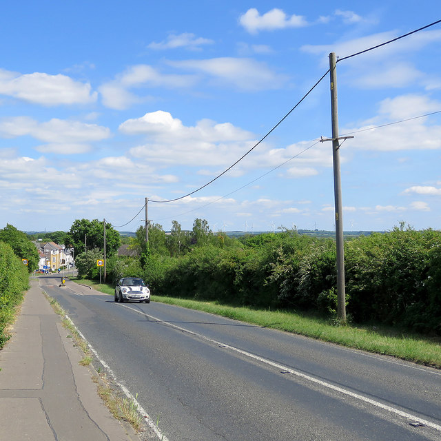
Image: © John Sutton Taken: 19 May 2020
The approach to the village on the road from Cambridge. The turbines at Wadlow Wind Farm, about four miles away, show on the skyline to the right (but were probably more apparent to the spectacled eye than they are in this picture). Image] is a comparable view, taken in 2012 when the wind farm was new.
Images are licensed for reuse under creativecommons.org/licenses/by-sa/2.0
Image Location


Leaflet Map data © OpenStreetMap
Latitude
52.181181
Longitude
0.209612