Dunmow Road at Long Barns
Introduction
The photograph on this page of Dunmow Road at Long Barns by Glyn Baker as part of the Geograph project.
The Geograph project started in 2005 with the aim of publishing, organising and preserving representative images for every square kilometre of Great Britain, Ireland and the Isle of Man.

There are currently over 7.5m images from over 14,400 individuals and you can help contribute to the project by visiting https://www.geograph.org.uk
Dunmow Road at Long Barns
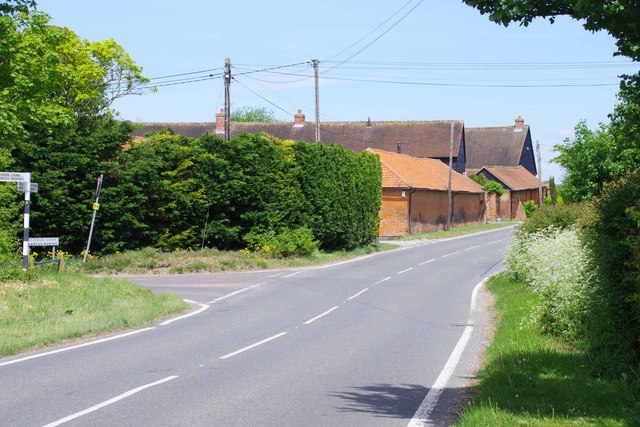
Image: © Glyn Baker Taken: 17 May 2020
The road to the left is School Lane. I bet there is some confusion with delivery drivers as there is another School Lane in the same grid square a few hundred metres south of here.
Images are licensed for reuse under creativecommons.org/licenses/by-sa/2.0
Image Location
Latitude
51.774055
Longitude
0.287078