Track to Berners Hall Fishery
Introduction
The photograph on this page of Track to Berners Hall Fishery by Glyn Baker as part of the Geograph project.
The Geograph project started in 2005 with the aim of publishing, organising and preserving representative images for every square kilometre of Great Britain, Ireland and the Isle of Man.

There are currently over 7.5m images from over 14,400 individuals and you can help contribute to the project by visiting https://www.geograph.org.uk
Track to Berners Hall Fishery
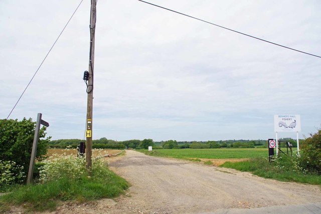
Image: © Glyn Baker Taken: 17 May 2020
The Public Footpath 186_50 bears off to the right before you reach the lakes.
Images are licensed for reuse under creativecommons.org/licenses/by-sa/2.0
Image Location
Latitude
51.765023
Longitude
0.307492