Guide post on north side of A65 at Eshton Road junction
Introduction
The photograph on this page of Guide post on north side of A65 at Eshton Road junction by Roger Templeman as part of the Geograph project.
The Geograph project started in 2005 with the aim of publishing, organising and preserving representative images for every square kilometre of Great Britain, Ireland and the Isle of Man.

There are currently over 7.5m images from over 14,400 individuals and you can help contribute to the project by visiting https://www.geograph.org.uk
Guide post on north side of A65 at Eshton Road junction
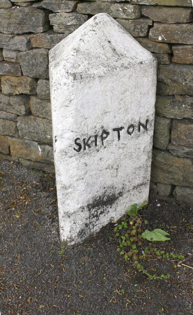
Image: © Roger Templeman Taken: 4 May 2019
The 1893-1894 1:2500 Map shows a benchmark levelled at 354.2 feet above Liverpool Datum on a guide post at this location. This guide post has Milestone Society ID YN_XXMCS
Images are licensed for reuse under creativecommons.org/licenses/by-sa/2.0
Image Location
Latitude
53.98462
Longitude
-2.100764