Trengale Wood and the Fowey valley
Introduction
The photograph on this page of Trengale Wood and the Fowey valley by Derek Harper as part of the Geograph project.
The Geograph project started in 2005 with the aim of publishing, organising and preserving representative images for every square kilometre of Great Britain, Ireland and the Isle of Man.

There are currently over 7.5m images from over 14,400 individuals and you can help contribute to the project by visiting https://www.geograph.org.uk
Trengale Wood and the Fowey valley
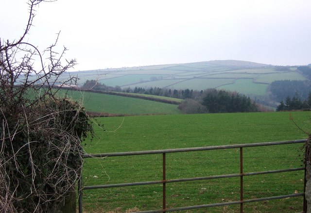
Image: © Derek Harper Taken: 3 Jan 2008
Looking across fields from close to the lane between the farms at Trengale and those at Fursnewth. Trengale Wood partly occupies a re-entrant in the side of the Fowey valley. The river runs across the northwest corner of this square for only about 150 metres. On the far side of the valley, fields rise towards Berry Down, in Image
Images are licensed for reuse under creativecommons.org/licenses/by-sa/2.0
Image Location


Leaflet Map data © OpenStreetMap
Latitude
50.48174
Longitude
-4.522988