North along the A309 Hampton Court Way
Introduction
The photograph on this page of North along the A309 Hampton Court Way by Jaggery as part of the Geograph project.
The Geograph project started in 2005 with the aim of publishing, organising and preserving representative images for every square kilometre of Great Britain, Ireland and the Isle of Man.

There are currently over 7.5m images from over 14,400 individuals and you can help contribute to the project by visiting https://www.geograph.org.uk
North along the A309 Hampton Court Way
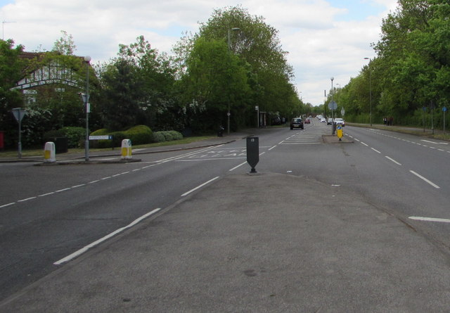
Image: © Jaggery Taken: 29 Apr 2017
The A309 here marks the boundary between East Molesey on the left and Thames Ditton on the right.
Images are licensed for reuse under creativecommons.org/licenses/by-sa/2.0
Image Location
Latitude
51.398498
Longitude
-0.342693