Field next to housing estate, Oakdale
Introduction
The photograph on this page of Field next to housing estate, Oakdale by M J Roscoe as part of the Geograph project.
The Geograph project started in 2005 with the aim of publishing, organising and preserving representative images for every square kilometre of Great Britain, Ireland and the Isle of Man.

There are currently over 7.5m images from over 14,400 individuals and you can help contribute to the project by visiting https://www.geograph.org.uk
Field next to housing estate, Oakdale
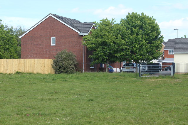
Image: © M J Roscoe Taken: 17 May 2020
The brick house is in Gwesty Close, Parc Bevin. The estate is built on the site of a WW2 Bevin Boys camp.
Images are licensed for reuse under creativecommons.org/licenses/by-sa/2.0
Image Location
Latitude
51.681603
Longitude
-3.168494