Old Boundary Marker
Introduction
The photograph on this page of Old Boundary Marker by I Sugden as part of the Geograph project.
The Geograph project started in 2005 with the aim of publishing, organising and preserving representative images for every square kilometre of Great Britain, Ireland and the Isle of Man.

There are currently over 7.5m images from over 14,400 individuals and you can help contribute to the project by visiting https://www.geograph.org.uk
Old Boundary Marker
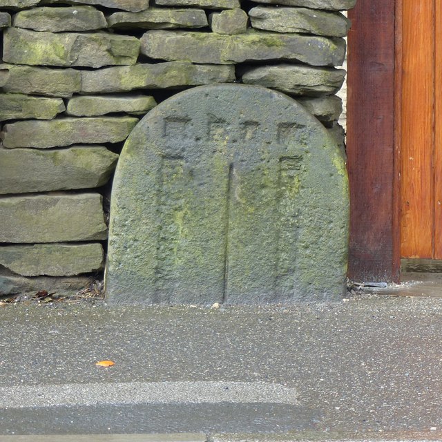
Image: © I Sugden Taken: 29 Mar 2016
Parish Boundary Marker set in wall next to front gate of 858/860 Cleckheaton Road, Oakenshaw. This seems to be the former boundary of Cleckheaton and North Bierley, now the boundary of Bradford and Kirklees districts. The inscriptions have been removed. Milestone Society National ID: YW_CLECK02pb
Images are licensed for reuse under creativecommons.org/licenses/by-sa/2.0
Image Location
Latitude
53.747562
Longitude
-1.741044