Ensbury Park: Furzebank Lane
Introduction
The photograph on this page of Ensbury Park: Furzebank Lane by Chris Downer as part of the Geograph project.
The Geograph project started in 2005 with the aim of publishing, organising and preserving representative images for every square kilometre of Great Britain, Ireland and the Isle of Man.

There are currently over 7.5m images from over 14,400 individuals and you can help contribute to the project by visiting https://www.geograph.org.uk
Ensbury Park: Furzebank Lane
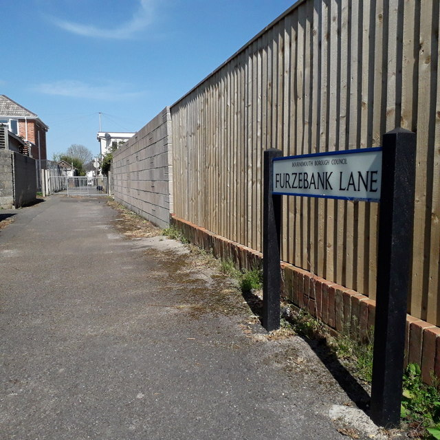
Image: © Chris Downer Taken: 14 Apr 2020
A broad public footpath in three segments, this being the middle one viewed from Nicholas Gardens towards Cove Road. Royal Mail still gives the name as three words, Furze Bank Lane, like previous signage while the current A-Z agrees with the sign here. See Image for links to further photos along the lane in each direction. The sign is a modern one, dating from around 2014-15, by which time the council had replaced the coloured logo, which had been prone to fading after a while, to simple wording BOURNEMOUTH BOROUGH COUNCIL in smaller type. This is photo no.154 of a series of 453 in my coronavirus lockdown walking project: See https://www.geograph.org.uk/article/My-2020-Coronavirus-Lockdown-walking-project for the complete set of photos.
Images are licensed for reuse under creativecommons.org/licenses/by-sa/2.0
Image Location
Latitude
50.750868
Longitude
-1.900298