House on Priory Road
Introduction
The photograph on this page of House on Priory Road by Philip Halling as part of the Geograph project.
The Geograph project started in 2005 with the aim of publishing, organising and preserving representative images for every square kilometre of Great Britain, Ireland and the Isle of Man.

There are currently over 7.5m images from over 14,400 individuals and you can help contribute to the project by visiting https://www.geograph.org.uk
House on Priory Road
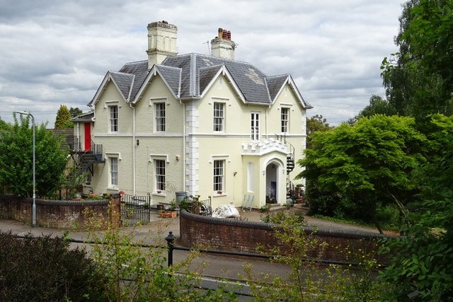
Image: © Philip Halling Taken: 13 May 2020
House on Priory Road described is Grade II listed https://historicengland.org.uk/listing/the-list/list-entry/1349448 and described as a "Mid C19 villa of 2 storeys".
Images are licensed for reuse under creativecommons.org/licenses/by-sa/2.0
Image Location
Latitude
52.108181
Longitude
-2.328193