Watton Place
Introduction
The photograph on this page of Watton Place by Vernon Dunhill as part of the Geograph project.
The Geograph project started in 2005 with the aim of publishing, organising and preserving representative images for every square kilometre of Great Britain, Ireland and the Isle of Man.

There are currently over 7.5m images from over 14,400 individuals and you can help contribute to the project by visiting https://www.geograph.org.uk
Watton Place
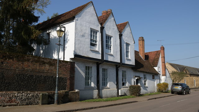
Image: © Vernon Dunhill Taken: 20 Apr 2018
Watton Place, High Street, Watton at Stone. Building dates from Tudor period and is now used as a Medical Centre
Images are licensed for reuse under creativecommons.org/licenses/by-sa/2.0
Image Location
Latitude
51.858145
Longitude
-0.113838